The continent Antarctica was a part of the supercontinent Pangaea, which broke up more than 200 million years ago into a northern part (Laurasia) and a southern part (Gondwana). According to Alfred Wegener's theory of continental drift (1912), Laurasia and Gondwana gradually broke up beginning in the Mesozoic era to eventually become the present-day continents. Convection currents in the Earth's interior continue to move the continental plates a few centimetres per year. As a result of continental drift, Antarctica moved to its current position at the South Pole.
Antarctica consists of two very geologically different regions. East Antarctica is a continuous land mass covered by ice. The basement is made up of gneiss rock up to 3.8 billion years old which is covered by younger volcanic rock and sediment. West Antarctica is an island archipelago covered by ice. The Transantarctic Mountains separate the two regions from one another. The mountain range extends across the continent and forms a tectonically active region. The southernmost active volcano in the world, Mount Erebus (3,794 m), is on the edge of the mountain range.
These facts and findings are based on modern measuring techniques, including radar and satellite exploration and seismic testing, which make it possible to 'take a look' under the ice.
Different types of rock formation hint at the eventful history of Antarctica.
Source: Fritz Hertel/UBA
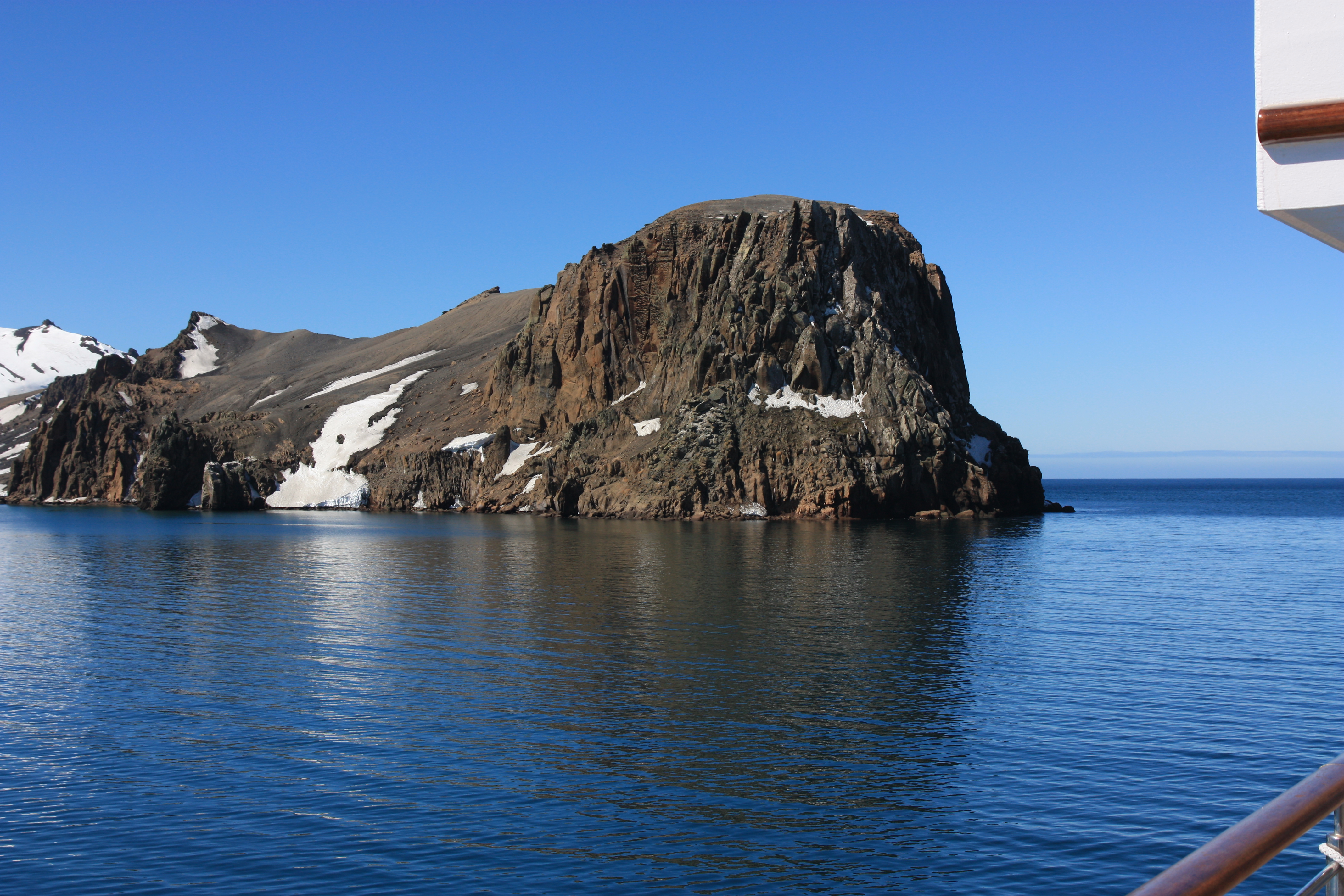
Icebergs and rugged cliffs jut out of the water around the Antarctic Peninsula
Source: Fritz Hertel/UBA
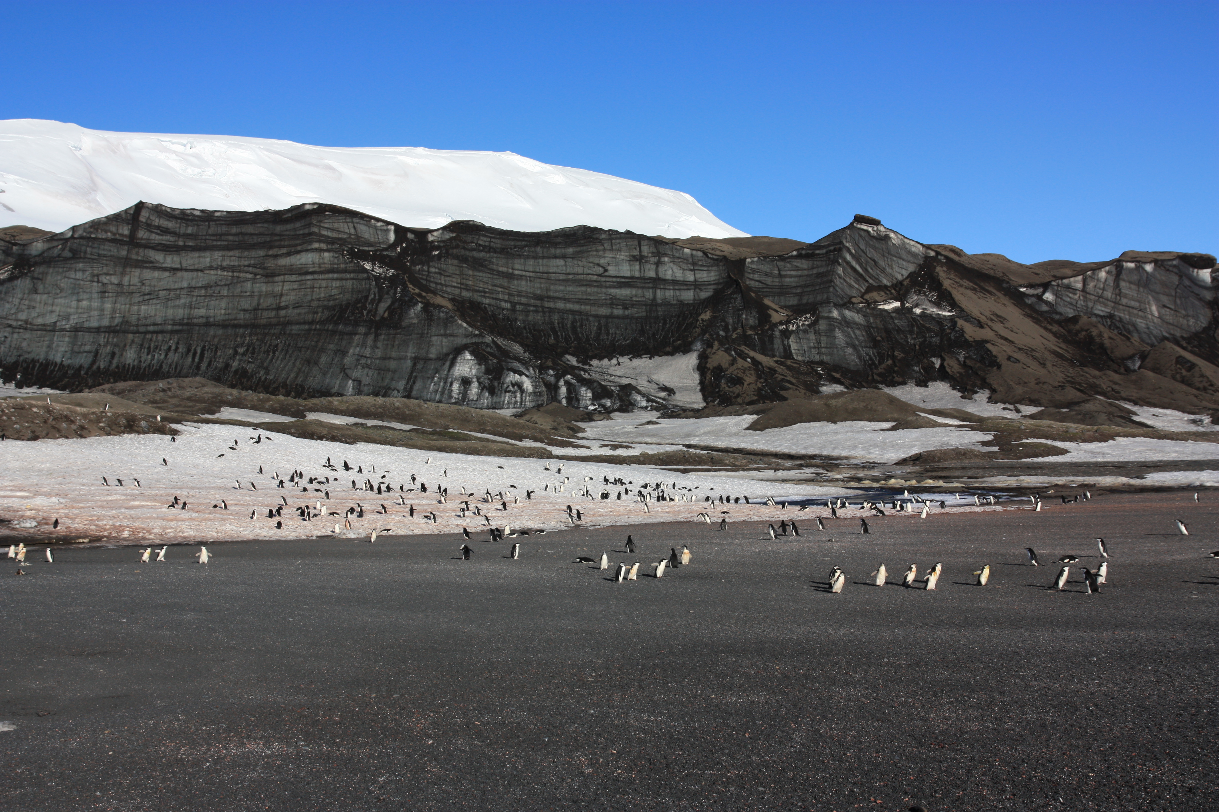
A real-life black and white picture: icy surfaces alternate with loose rock
Source: Fritz Hertel/UBA
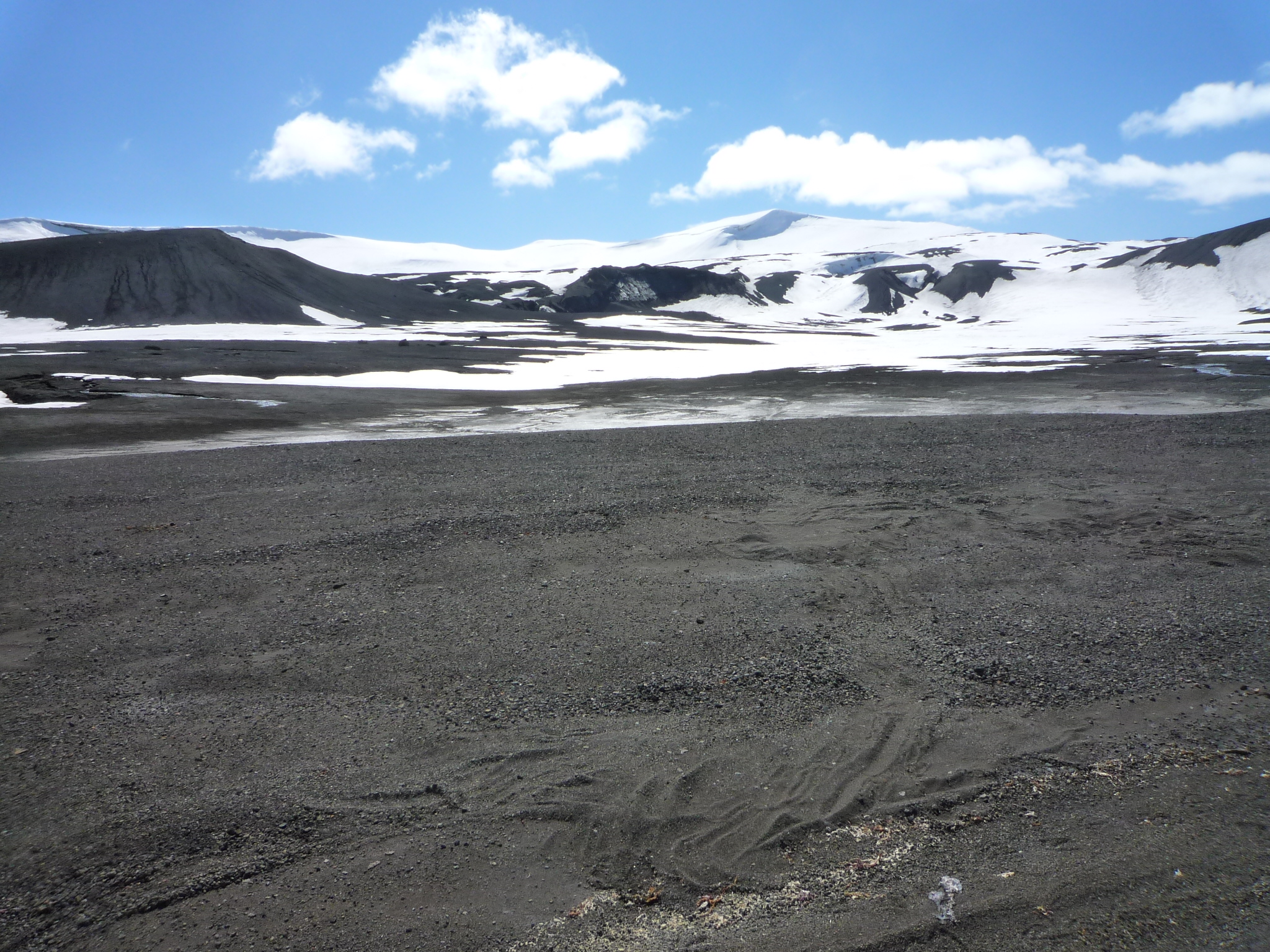
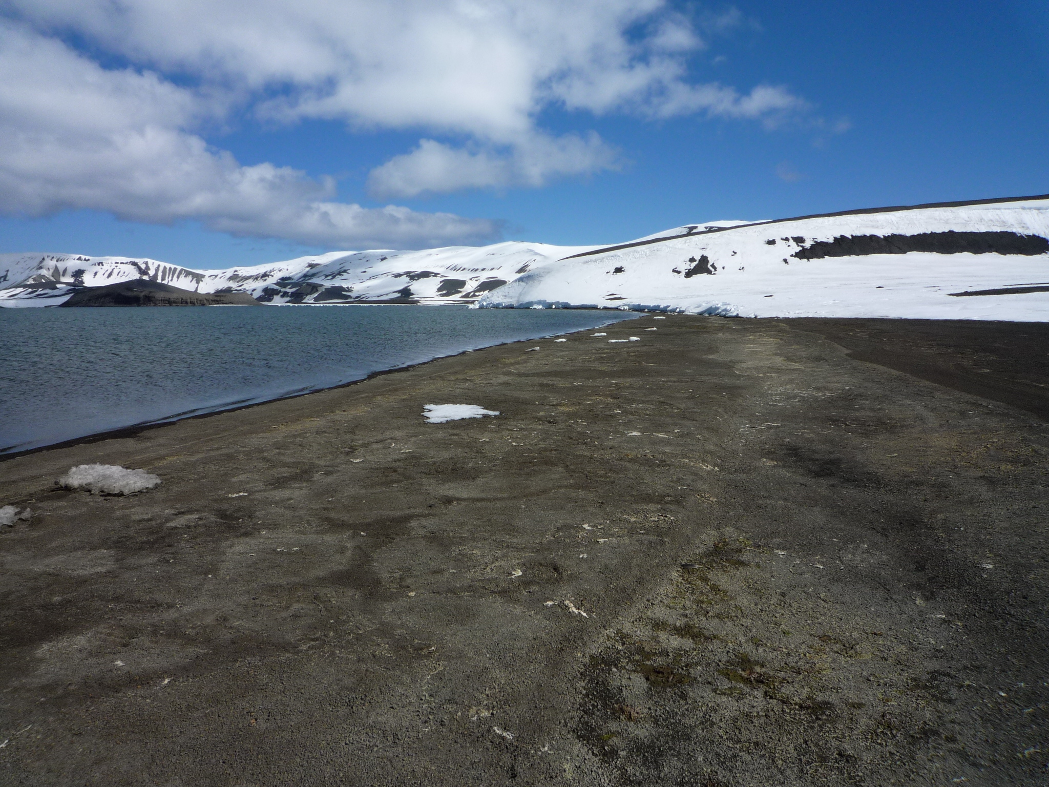
Not all of the Antarctic is covered by ice
Source: Fritz Hertel/UBA
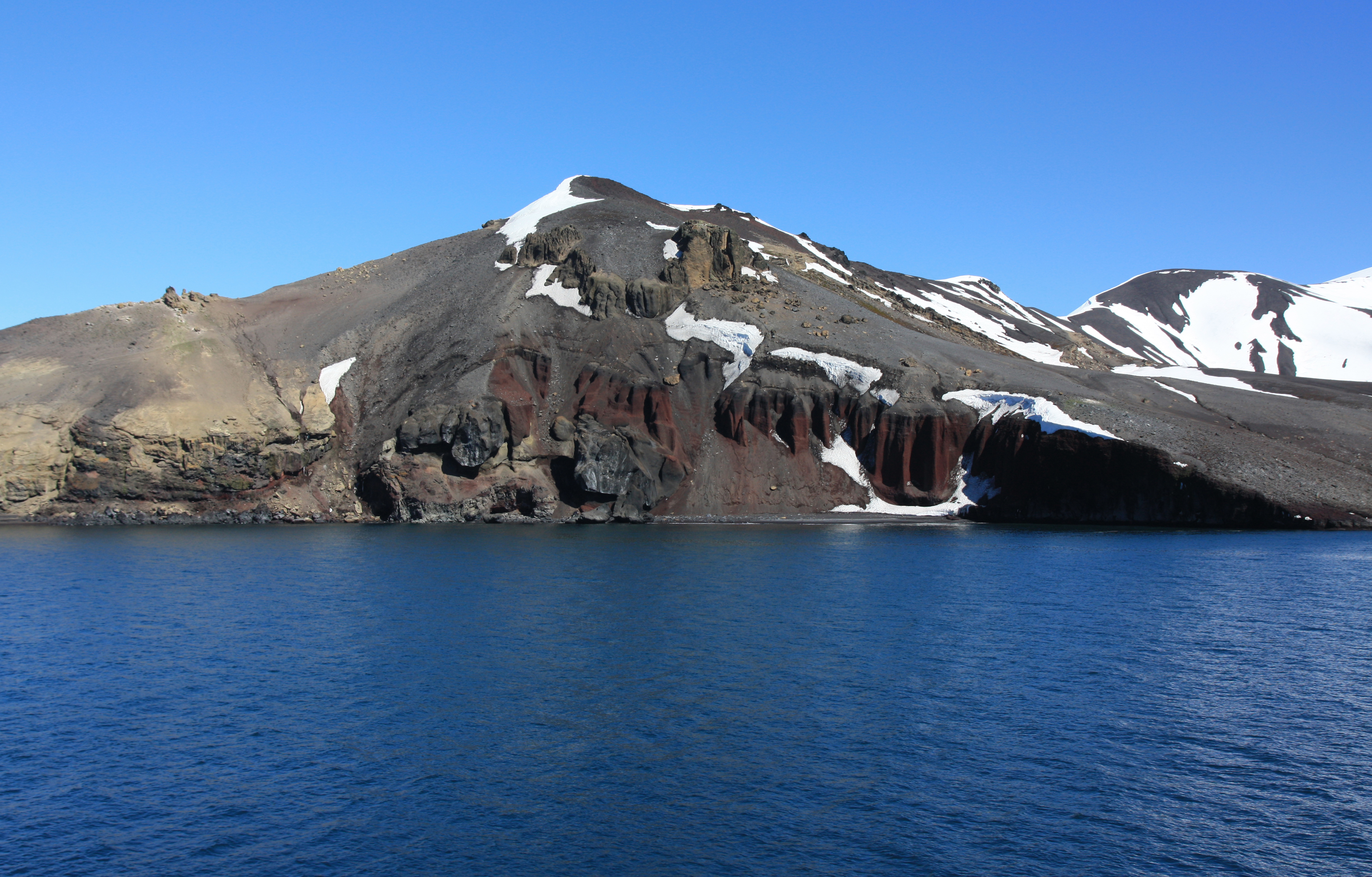
Impressive evidence of geomorphological processes can be seen along craggy cliffs
Source: Fritz Hertel/UBA

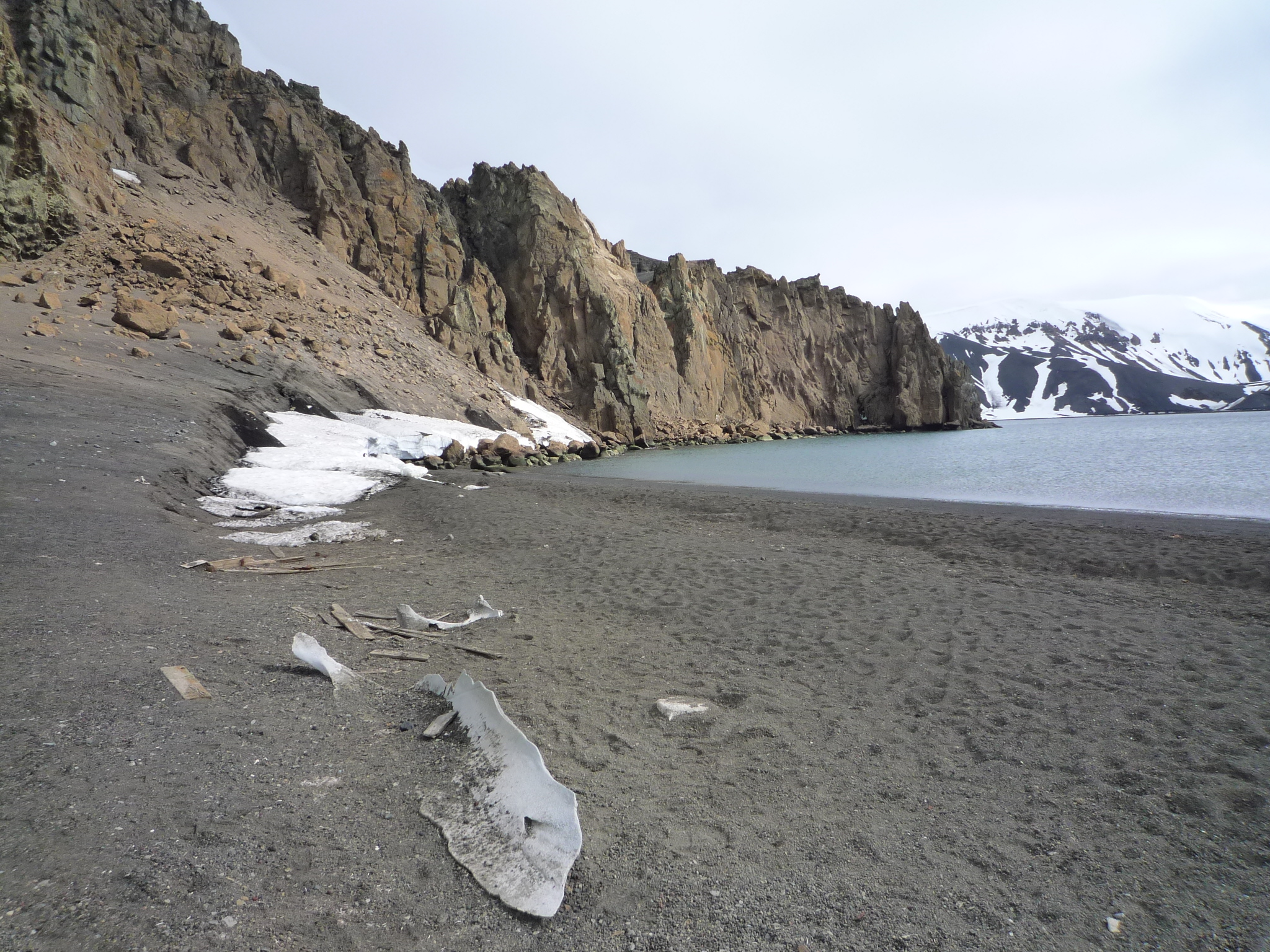
Various types of rock formations can be seen along coastal regions when the ice thaws in summertim
Source: Fritz Hertel/UBA
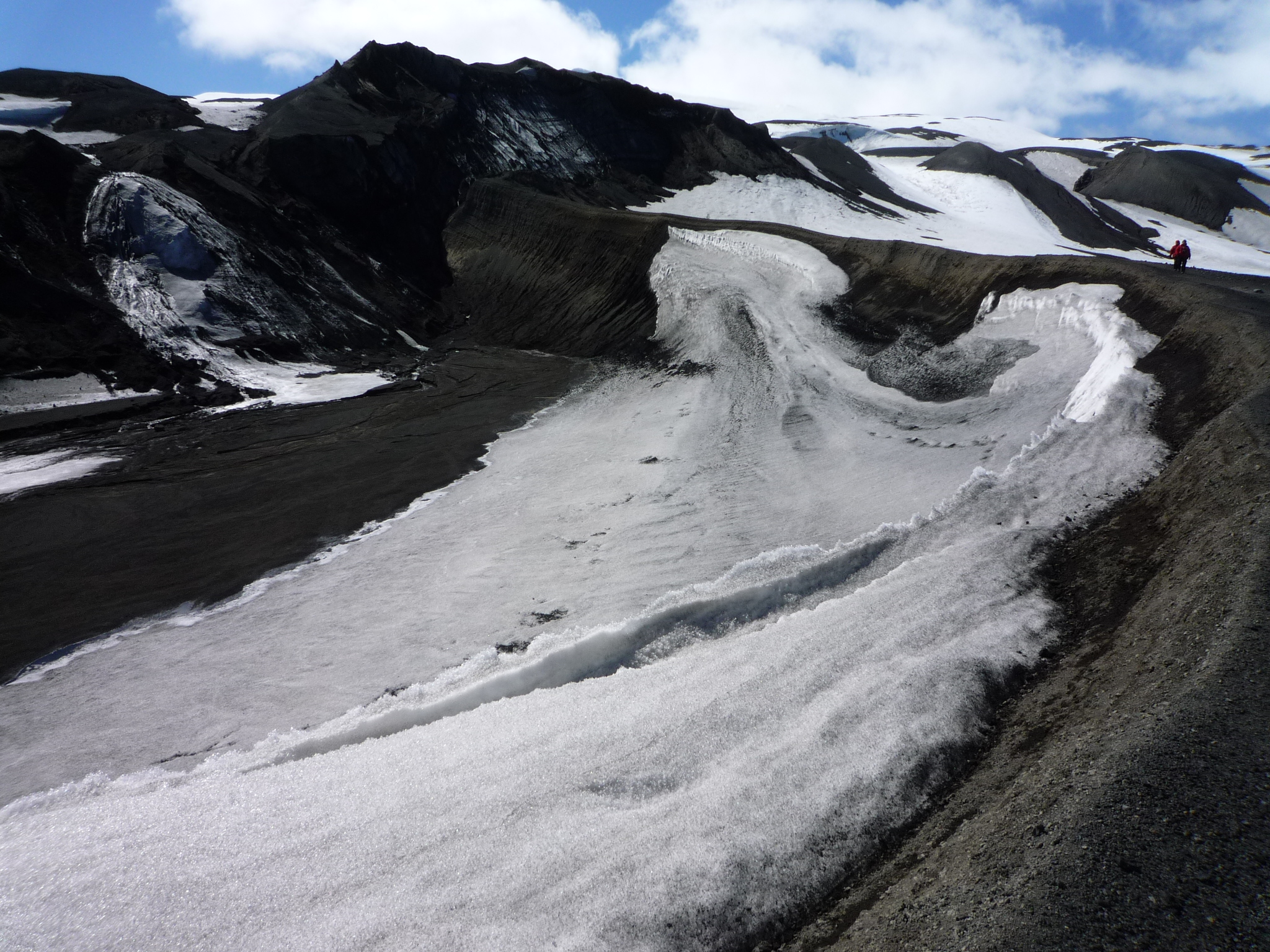
Black sand is a sign of the rock's volcanic origin
Source: Fritz Hertel/UBA