Background and Goals
The city of Regensburg has around 134,000 inhabitants, making it the fourth largest city in Bavaria. Regensburg has the greatest population growth among model projects - both in terms of its past population development and the forecasts up to 2025, which shown an anticipated 5.4% rise in the population.
Regensburg lies at the northernmost point on the Danube and at the mouths of the left-hand tributaries the Naab and the Regen. It is surrounded by the Winzerer Heights, outliers of the Bavarian Forest and the Ziegetsberg, which promotes the formation of inversions. Because of its location at the intersection of topographical zones, the city also has frequent fog and is susceptible to fine dust pollution, particularly in the winter months.
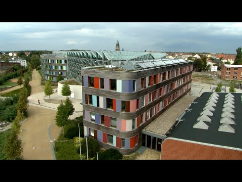
Unlike many other cities, Regensburg has a relatively compact and structured urban form and a homogeneous overall settlement structure. It is shaped by the historic old city, which has around 1,000 protected buildings. This is the only authentically preserved medieval city in Germany, and has been a UNESCO World Heritage Site since 2006.
The Regensburg old city is referred to as the "Stone city". Its dense historic building structure, with stone squares and alleys, few trees in public spaces and a high usage density (residential, shopping, business, tourism), heats up more quickly in summer than the surrounding land and acts as a heat store. Temperature differences within the urban area can be as much as 6°C.
The heat island phenomenon, which is more distinctive as climate change advances, implies a decline in thermal comfort, results in additional energy requirements and may bring about changed demands in terms of the design of open spaces. Because of its position on the Danube, Regensburg also has to adapt to more frequent sultry weather and flood risks.
Objectives: By linking two sub-projects run in parallel - one at a preparatory planning level and the other at a realization level - synergies between the strategic planning and operational activity levels have been utilised. At a preparatory level, a concept has been developed and tested for integration of a climate effect estimate and a climate adaptation strategy into the environmental test for the land use and integrated landscape plan. At the realisation planning level, climate adaptation strategies and measures will be developed especially for the collection of monuments and the "Regensburg old city" UNESCO World Heritage Site for updating the world heritage management plan.
Central project aims:
- Formulation and discussion of guidelines and modules for a climate change adaptation strategy in the city of Regensburg;
- Design of processes and methods for an environmental test with integrated climate effect estimate and climate adaptation strategy;
- Formulation of (transferable) guidelines for integration of a climate effect estimate and climate adaptation strategy into the environmental test;
- Design of the necessary content and scope of climatological analyses for the environmental test based on content from landscape planning and, if applicable, climate survey reports.
The following project modules will be used to involve and raise awareness among broad groups of players to promote intensive public participation:
- Target group specific survey of players,
- Moderated workshops for development of climate adaptation guidelines and measures in the UNESCO World Heritage Site,
- Development of a climate adaptation concept capable of gaining consensus, and
- Formulation of guidelines and design typologies for public and private green and open spaces.
Content time
toResearch area/region
Country
- Germany
Region of implementation (all German federal states)
- Bavaria
Spatial resolution
Regensburg
Steps in the process of adaptation to climate change
Step 1: Understand and describe climate change
Approach and results
One of the fundamental steps in this sub-project was to determine the actual climatic conditions in the city centre using infrared heat images, atmospheric measures close to ground level and comparisons between different types of open spaces. In parallel a study was carried out using a survey of various city centre players on adverse effects caused by climatic events and protection against / adaptation to climate change. No local climate projections have been produced.
Parameter (climate signals)
- Heat waves
- Altered rainfall patterns
- Higher average temperatures
- Extreme precipitation (incl. hail, snow)
Further Parameters
wind, air pressure, humidity
Step 2a: Identify and assess risks - climate effects and impact
Approach and results
Due to longer periods of heat, and because Regensburg acts as a heat island, the city has to adapt to more frequent sultry weather and increased heat pollution. As a result of its location on the Danube, there is also a risk of flooding.
Step 2b: Identify and assess risks - Vulnerability, risks and chances
Approach and results
Approximate analysis of available climate data and scenarios as an initial estimate of vulnerability and need for action; key step was determination of actual climatic condition in the city centre using infrared heat images, atmospheric measurements close to ground level, and comparisons of different types of open space. In parallel a study was carried out using a survey of various city centre players on adverse effects caused by climatic events and protection against / adaptation to climate change.
Step 3: Develop and compare measures
Measures and/or strategies
As a result of the need for climate change adaptation, in conjunction with other aims for sustainable settlement development, there is a growing need for comprehensive action on the planning side. As part of the model project, the city of Regensburg has been addressing the contradiction between urban development and municipal planning aimed at spatial economy and internal development, and the required climate adaptation messages which, because of the exceptionally compact nature of the city of Regensburg, tend to include a loosening of building structures and unsealing of ground. To achieve climate adapted urban development, it is essential to focus on climate adapted use of space for future urban development at a strategic level on the one hand, and to devise measures for restrictive or persistent urban and open space structures at an operational level on the other.
Time horizon
- 2036–2065
Conflicts / synergies / sustainability
At the realisation planning level, climate adaptation strategies and measures have been developed especially for the collection of monuments and the "Regensburg old city" UNESCO World Heritage Site for updating the world heritage management plan. Due to its specific circumstances (conservation, building density, persistent structures), which only allowed very limited intervention for climate protection and adaptation, the historic city centre and its vulnerability as a "heat island" was a particular challenge. In conjunction with various players from the community, business, academia and public administration, a climate adaptation concept capable of achieving consensus was drawn up, and has been used as a basis for developing specific climate adaptation measures and testing them on initial implementation examples.
The focus was on the contradiction between urban development and municipal planning aimed at spatial economy and internal development, and the required climate adaptation messages which, with the exceptionally compact nature of the city of Regensburg, tend to include a loosening of building structures and unsealing of ground.
Participants
Funding / Financing
Ministry of Transport, Construction and Urban Development (BMVBS) and Federal Institute of Construction, Urban and Spatial Research (BBSR): KlimaExWoSt - StatdtKlima
Project management
The Planning and Building Department of the city government Regensburg in cooperation with the legal and Environment Unit;
Research assistance: ARGE Prof. Jacoby - Beutler and Valentum Consulting Group
Cooperation/Partners
Agro aerial IMM and Infrared Technology,
German Weather Service (DWD),
Bavarian State Office for Environmental,
Higher conservation authority of the Government of Upper Palatinate,
Regional Planning Association of Regensburg,
Association of life and economy in Regensburg,
Energy Agency Regensburg
Contact
Stadtplanungsamt Regensburg
D.-Martin-Luther-Str. 1
D-93047 Regensburg